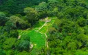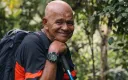
The Tayrona built Teyuna, starting around 800 CE — and the people who built it have descendants living on the same mountain today. The Kogui, Wiwa, Arhuaco and Kankuamo are not a separate group who arrived later. They are the continuation of the civilisation whose stonework you climb.
That is the whole answer, and it is the part most accounts leave out.
Who the Tayrona actually were
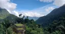
Not a single kingdom, and not an empire. The Tayrona were a network of peoples across the Sierra Nevada de Santa Marta — the highest coastal mountain range in the world, rising from the Caribbean to snow in under 50 kilometres.
That geography shaped everything. Within a short horizontal distance they had access to coastal, tropical, cloud-forest and high-mountain zones, and the settlements were linked by paved paths so goods and people moved between them. Teyuna was one node in that network, not its capital in the European sense.
What they built, and how
From about the 9th century they worked in stone:
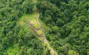
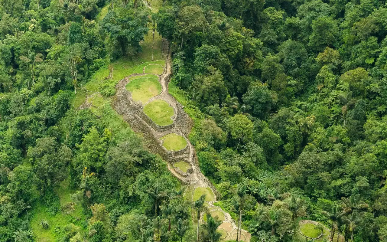
- Terraced platforms cut into steep ridges, held by retaining walls — the flat ground you stand on at Teyuna is entirely constructed.
- Drainage channels running through and under the terraces, which is why the site survived centuries of tropical rain without sliding off the mountain.
- Paved paths and stairways linking sectors and settlements, including the roughly 1,200 steps you climb.
- Around 169 terraces at Teyuna itself, stepping up the hillside above the Buritaca river at about 1,209 m.
What is missing is the architecture on top. The Tayrona built their houses in wood and thatch on those stone platforms, and organic material does not last in this climate. That is why Teyuna reads as an outline rather than as walls — you are looking at the foundations of a city, not its ruins.
They were also skilled goldsmiths, which is precisely what attracted the looters in 1972.
Why the site emptied
Spanish conquest reached the Sierra Nevada in the 16th century. The military campaigns mattered, but the epidemics mattered more — introduced disease travelled faster and further than any army.
The network broke. Coastal settlements were destroyed or abandoned, the links inland collapsed, and the survivors moved higher into the mountains, away from the coast and away from contact. The terraced cities were left to the forest, and within a few generations the canopy had closed over them.
That is a retreat, not an extinction. The distinction matters.
The four peoples today
| People | |
|---|---|
| Kogui (Kággaba) | Live highest in the Sierra; you pass Kogui settlements on day two |
| Wiwa | Live at intermediate altitudes; you pass Wiwa settlements on day two |
| Arhuaco (Ika) | Their territory lies away from this trail |
| Kankuamo | Away from this trail, and in a long process of cultural recovery |
We are not going to rank them. Descriptions like “the most intact” or “the most affected” travel from one tourism page to the next without anyone naming a source, and they are judgements about peoples rather than facts about them. What we can tell you is where the trail goes and whose land it crosses.
All four are descendants of the Tayrona. All four hold authority over the territory the trail crosses, and it is with them — together with ICANH — that access to Teyuna was negotiated.
Their spiritual authorities, the mámos, carry responsibility for the Sierra Nevada as a whole, which they describe as the heart of the world.
What this means when you are standing there
You will pass Kogui and Wiwa settlements on day two, the long stage. Those are homes belonging to the descendants of the people who cut the staircase you climb on day three.
It is also why the site closes every October, why there is no independent permit, and why a share of what you pay returns to the four communities. Teyuna is not an archaeological site that happens to sit on indigenous land. It is their site, and visitors are admitted on their terms.
The name
“Ciudad Perdida” — Lost City — is what the outside world called it after 1972. Teyuna is the name it carries in the Sierra. Both appear on this website because both are what people search for, but only one of them was ever accurate.
Related
- History of the Lost City — the full sequence, 800 CE to today
- Archaeology of Ciudad Perdida — what the site contains
- Indigenous communities on the trail — visiting as a guest
- Lost City vs Machu Picchu — 650 years apart
- Bunkuany — the other city the same people built
Ready to walk it?
Departures leave Santa Marta at 7:00 a.m. every day. The 4-day trek has no minimum group — it runs whether you are five people or one.
From COP 1,860,000 4 days — the classic