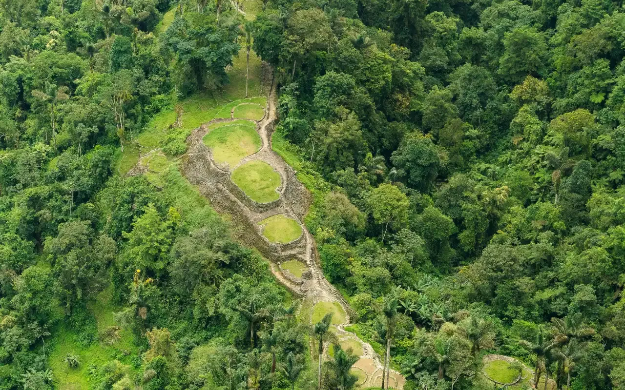
Teyuna was founded around 800 CE — roughly 650 years before Machu Picchu — and it was never lost to the people who built it. It was lost to everyone else. The name “Ciudad Perdida” describes an absence in the outside world’s knowledge, not in the Sierra Nevada’s.
What follows is the sequence: who built it, what broke, what survived, and what happened in 1972.
Around 800 CE — the Tayrona begin building
The Tayrona were not a single kingdom but a network of peoples across the Sierra Nevada de Santa Marta, the world’s highest coastal mountain range. From about the 9th century they built in stone: terraced platforms cut into the ridges, retaining walls, drainage channels, and paved paths linking settlement to settlement.
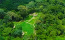
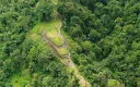
Teyuna sits at roughly 1,209 m, on a ridge above the Buritaca river. Around 169 stone terraces step up the hillside, reached by a staircase of about 1,200 steps — the same one you climb today.
What you see is the stone. The wooden structures that stood on those platforms are long gone, which is why the site reads as an outline rather than a ruin of walls.
The 15th century — a federation at its height
By the 1400s the Tayrona network connected the Caribbean coast to the terraced cities inland. Teyuna was a ceremonial and political centre, not a fortress and not a village — a place where decisions and rituals happened for a wider region.
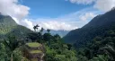
The layout is not arbitrary. The descendant peoples describe the Sierra as a sacred geography and read the site within it, though how much of the plan that explains is not settled. Your guide can explain more of that on site than any article can.
The 16th and 17th centuries — conquest and collapse
Spanish conquest reached the Sierra Nevada in the 16th century. The military campaigns mattered, but the epidemics mattered more: introduced disease moved faster and further than any army.
The network broke. Coastal settlements were destroyed or abandoned, the trade and authority links inland collapsed, and the surviving population moved higher into the mountains — away from the coast, away from the routes, away from contact.
The terraced cities were left to the forest. Within a few generations the canopy had closed over Teyuna.
What did not happen
Teyuna was not forgotten by the people of the Sierra. The four peoples who live there today — the Kogui, Wiwa, Arhuaco and Kankuamo — are the descendants of the Tayrona. They stayed on the mountain. Local names for the place preserved the knowledge of it across the entire period the outside world calls “lost”.
That distinction is worth holding onto, because almost every popular account of the site gets it backwards.
1972 — the looting, not the discovery
In 1972 the site was reached by guaqueros — treasure hunters — who stripped what they could carry. Gold objects and ceramics from the terraces began appearing on the black market, and it was that trade, not an expedition, that alerted Colombian authorities to what was up there.
The site is routinely described as “discovered in 1972”. It was looted in 1972. The archaeological mapping came afterwards, and it came to a site that had already lost objects and context that cannot be recovered.
From the 1970s to now — who governs it
Systematic archaeological work followed, and the site came under the protection of Parques Nacionales Naturales de Colombia. Access is regulated by ICANH, Colombia’s national institute of anthropology and history, in coordination with the four indigenous peoples.
That co-management is why the site works the way it does today:
- No independent permit exists. You enter only with an authorised operator and guide.
- The price is fixed, agreed with ICANH and the communities rather than set by agencies.
- A community contribution is built into every ticket, administered in coordination with ICANH and the communities.
- The site closes every October, from the 1st to the 31st, for indigenous spiritual and environmental restoration. That decision belongs to the communities.
Why the history changes the walk
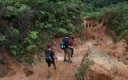
Knowing this turns the trek from a hike with a view at the end into something else. On day two you pass Kogui and Wiwa settlements — the descendants of the builders, living on the same mountain. On day three you climb the stairway their ancestors cut.
The terraces are not a monument to a vanished people. They are the stone part of a culture that is still there, still governing the territory, and still deciding on what terms you are allowed to visit.
Related
- Who built the Lost City? — the Tayrona in more detail
- Archaeology of Ciudad Perdida — what the site actually contains
- Indigenous communities on the trail — visiting as a guest
- Lost City vs Machu Picchu — 650 years apart
- Bunkuany — the other Tayrona site in the Sierra
Ready to walk it?
Departures leave Santa Marta at 7:00 a.m. every day. The 4-day trek has no minimum group — it runs whether you are five people or one.
From COP 1,860,000 4 days — the classic