The totals are 50 km on the 3-day, 60 km on the 4-day and 62 km on the 5-day. Those are the sums of our own published stages, and the first thing worth noticing is how close together they are.
The 3-day is not a short version of this trek. It is 10 km less walking than the 4-day, compressed into one fewer day — which is why it is harder, not easier.
Per day, all three durations
4 days — 60 km
| Day | Route | Distance | Hours |
|---|---|---|---|
| 1 | Santa Marta → El Mamey → Adán | 9.3 km | 4 h |
| 2 | Adán → Múmake → Paso Lorenzo | 17.2 km | 7 h |
| 3 | Paso Lorenzo → the terraces → Múmake | 15.8 km | 6 h |
| 4 | Múmake → El Mamey → Santa Marta | 17.2 km | 6 h |
3 days — 50 km
| Day | Route | Distance | Hours |
|---|---|---|---|
| 1 | Adán → Paso Lorenzo | 17.2 km | 7 h |
| 2 | Paso Lorenzo → the terraces → Múmake | 15.8 km | 6 h |
| 3 | Múmake → El Mamey → Santa Marta | 17.2 km | 6 h |
The 3-day rides the first stretch, El Mamey to Adán, on a motorcycle. That is the 9.3 km the other two walk.
5 days — 62 km
| Day | Route | Distance | Hours |
|---|---|---|---|
| 1 | Santa Marta → El Mamey → Adán | 9.3 km | 4 h |
| 2 | Adán → Múmake → Paso Lorenzo | 17.2 km | 7 h |
| 3 | Paso Lorenzo → the terraces → Múmake | 15.8 km | 6 h |
| 4 | Múmake → the waterfall route | 11.5 km | 5.5 h |
| 5 | The waterfall route → El Mamey → Santa Marta | 8 km | 3 h |
Where these come from, because it matters. The 4-day figures are measured, off our own route table. The other two are worked out from it: the 3-day is the 4-day without the first stretch, which it rides; the 5-day is the 4-day with the waterfall route in place of the direct way out. If you are comparing us against another operator, that is the distinction worth knowing — and most sites will not tell you which of their numbers is which.
The number that matters is not the total
Sixty kilometres over four days works out at 15 km a day. That sounds mild, and it is misleading, both because the distance is not evenly spread and because kilometres in this terrain are not the kilometres you know.
The days that decide the trek are the two 17.2 km days: day two, the long climb, and day four, the long descent. Everything else is recovery around them.
On the 3-day, both of those 17.2 km days are still there — plus a 15.8 km day between them, and no rest day anywhere.
Why the 3-day covers less ground
Two reasons, and neither of them is a shortcut on the trail itself. The first is the motorcycle: a stretch of dirt road at the start is ridden rather than walked, which takes kilometres off before you have taken a step. The second is that the middle is compressed rather than skipped — the 4-day gives the terraces a day of their own, and the 3-day folds them into the day it arrives.
What the 3-day does not do is start easier. Its first day is 17.2 km where the 4-day gives you 9.3, which is exactly why it is the harder version despite covering less ground.
That is worth being clear about: you are not seeing less of the route. You are walking the same trail in fewer, longer days.
Why your watch will not agree
If you track the trek, expect your GPS to read differently from these figures — usually higher. That is normal, and there are three reasons:
- GPS overcounts on switchbacks and under canopy. Dense forest degrades the signal, and the device fills gaps with straight lines and jitter that add up over 60 km.
- River crossings move. The point where you cross shifts with water level, and detours around a swollen crossing add real distance that is not in any itinerary.
- Nobody walks the exact same line. The trail braids in places; two people on the same day can log different totals.
Published stage distances are the route as planned. A GPS track is the route as walked, on that day, by you. Both are correct.
Distance is not the difficulty
If you are choosing a duration on kilometres alone, you will choose wrong. 60 km in four days is not hard. 17.2 km of steady climbing in tropical humidity, on day two of four, is.
What actually decides how the trek feels:
- Heat and humidity, 28–32 °C, every day
- The 1,200 steps on summit morning
- The long descent out, which is where knees give out
- Repetition — the same effort, three or four days running
See the difficulty guide for the hours and elevation alongside these distances.
What the distance means practically
- You need 2–3 litres of water capacity to cover 17.2 km between camps in that heat.
- You carry 8–10 kg the whole way. A pack mule can take a bag, arranged when you book.
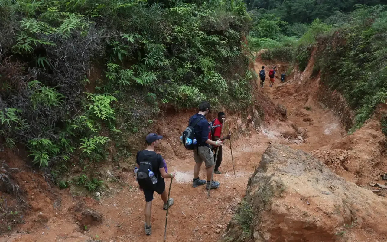
- You cannot shorten a day. There is no road access, no pickup point and no bail-out between camps. Once you leave a camp, the next camp is the only destination.
Related
- Lost City trek difficulty — the same days measured against your legs
- Lost City trek elevation — the up and down behind these numbers
- 3 vs 4 vs 5 days — choosing on more than kilometres
- 4-day itinerary — what each of those days contains
Ready to walk it?
Departures leave Santa Marta at 7:00 a.m. every day. The 4-day trek has no minimum group — it runs whether you are five people or one.
From COP 1,860,000 4 days — the classic