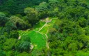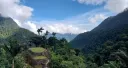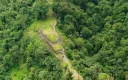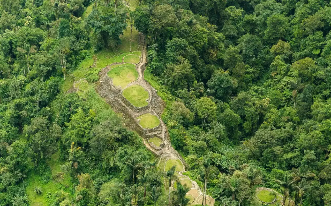
Teyuna is a city of stone foundations rather than a city of walls, and understanding that before you arrive changes what you actually see when you get there. Around 169 terraces step up a ridge above the Buritaca river at roughly 1,209 m, linked by paved paths and a stairway of about 1,200 steps.
If you turn up expecting temples, you will be disappointed. If you turn up understanding what stone survives in a tropical forest and what does not, you will see an engineering achievement instead.
What is actually there
Start with the terraces, because every flat surface at Teyuna is constructed. The Tayrona cut into a steep ridge, built retaining walls and backfilled to create level platforms. When you stand on one, you are standing on fill held in place by a thousand-year-old wall.
The drainage is the part archaeologists find most impressive and the part visitors most often walk straight over without noticing. Channels run through and beneath the terraces, moving tropical rainfall off the site instead of letting it saturate and collapse the fill. It is the reason Teyuna is still on the mountain at all.
Then there are the paths and stairways. Paved routes link the sectors and the main stairway climbs the ridge, and none of it was scenic. It was infrastructure, connecting Teyuna to a wider network of settlements across the Sierra.
The site itself is not one plaza but a series of sectors stepping up the hillside, with the higher ground associated with ceremonial and political functions.
What is not there, and why
The buildings are gone. The Tayrona built in wood and thatch on top of the stone platforms, and in a climate this wet organic material does not survive centuries. What you are looking at is the floor plan of a city whose houses have rotted away.
Most of the objects are gone too. Teyuna was a goldsmithing culture and its ceramics and metalwork were substantial, but very little of that was recovered in context — for the reason below.
1972 — what looting actually cost
The site was reached in 1972 by guaqueros, treasure hunters, who took what they could carry. Gold and ceramics from the terraces began surfacing on the black market, and it was that trade rather than any expedition that alerted Colombian authorities.
The site is routinely described as “discovered in 1972”. It was looted in 1972.
The archaeological difference matters far more than it sounds. An object removed from a site loses its context: which terrace, which layer, next to what, at what depth. That context is most of the information. A gold figure in a private collection tells you the Tayrona made gold figures; the same figure recorded in situ could have told you who lived on that terrace, when, and what they did there.
That is the part nobody can buy back, and it is why the rules on the trail today are as strict as they are.
What archaeologists have established
Systematic work followed the looting, and the picture that emerged is of occupation from roughly 800 CE, expanding over centuries, with Teyuna functioning as a ceremonial and political centre rather than a fortress or a farming village.
The layout is not arbitrary either. The descendant peoples describe the Sierra as a sacred geography and read the site within it — how much of the plan that explains is not something archaeology has settled, which makes this one of the rare cases where archaeology and living tradition can be read against each other rather than one substituting for the other.
Who governs the site now
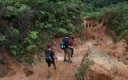
The archaeological zone sits within Parques Nacionales Naturales de Colombia, and access is regulated by ICANH in coordination with the Kogui, Wiwa, Arhuaco and Kankuamo. In practice that means:
- No independent access. Only with an authorised operator and guide.
- The site closes 1–31 October for indigenous spiritual and environmental restoration.
- Drones have to be cleared in advance, in the archaeological zone and in indigenous territory alike. Ask before you travel rather than on the trail.
- A share of your fee returns to the four communities and to the upkeep of the park.
What to look for when you get there
- Look at the wall, not the platform. The retaining stonework is where the engineering lives.
- Follow the water. Once you notice one drainage channel you will start seeing them everywhere.
- Look at what is level and ask why. Nothing on that ridge is naturally flat.
- Ask your guide about the sectors. The relationship between them is the closest thing to a floor plan of the society.
You get two to three hours on site on day three. That is enough if you know what you are looking at, and nowhere near enough if you do not.
Related
- Who built the Lost City? — the Tayrona and their descendants
- History of the Lost City — 800 CE to the 1972 looting
- Indigenous communities on the trail — whose site this is
- 4-day itinerary — when you reach the terraces
- Bunkuany — Tayrona terraces, one to three days from Santa Marta
Ready to walk it?
Departures leave Santa Marta at 7:00 a.m. every day. The 4-day trek has no minimum group — it runs whether you are five people or one.
From COP 1,860,000 4 days — the classic