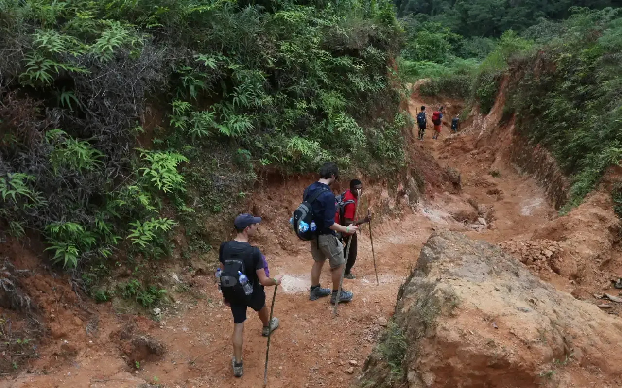
There is no official tourist map of this trail, and you would not be allowed to use one on your own even if there were. Access to Teyuna exists only with an authorised operator and guide, and guides navigate by landmarks, river junctions and marked stones rather than by signage, because there is none.
None of which makes the shape of the route useless to know. Understanding where you are going changes how the four days feel. It is the difference between “we walked for seven hours” and “we came up the Buritaca valley”.
The shape of the route in one paragraph
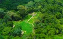
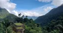
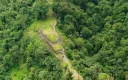
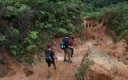
You drive inland and east from Santa Marta, about 2.5 hours by 4×4, to the trailhead at El Mamey, where the road ends. From there the trail climbs the Buritaca river valley, crossing the river repeatedly and gaining height through farmland and then cloud forest, past Kogui and Wiwa settlements, until it reaches the camps. From the last camp a stairway of roughly 1,200 steps climbs the ridge to the terraces of Teyuna at around 1,209 m. Then you come back down the same way you came.
It is an out-and-back rather than a loop. You return on the path you walked in on.
The trail climbs from 150 m at El Mamey to 1,200 m at Teyuna. A thousand metres of ascent, and the shape of it matters more than the total: you do not climb evenly. Patillazo sits higher than the first camp, Mono Pecas higher than the one after it, and the trail drops between them every time.
The part nobody expects is the end. After the last camp the trail drops to a river crossing before climbing again to the site.
The waypoints that matter
| Point | What it is |
|---|---|
| El Mamey (Machete Pelao) | Trailhead. Where the road stops and the path begins |
| Patillazo | Fruit stop |
| Adán Camp | Night one |
| Alfredo Camp | Night one, the alternative |
| Mono Pecas | Fruit stop |
| Wiwa Camp | Night three, the alternative |
| Mutanzi | A Kogui village on the route. Homes, not viewpoints — ask before you photograph anyone |
| Múmake Camp | Night three, and where the 5-day’s waterfall route leaves from |
| Koskungena | Fruit stop, not a camp |
| Paso Lorenzo | Night two |
| Paraíso Camp | Night two, the alternative |
| The 1,200 steps | The stone stairway up the ridge |
| Teyuna / Ciudad Perdida | ~169 terraces |
The trailhead and the terraces are the two altitudes worth stating, and they are the two this site can stand behind. The per-waypoint figures that used to sit here came from the same unsurveyed source as the per-day elevations the altitude guide retired, so they went with them. What the waypoints are for is orientation, not arithmetic.
How the durations map onto it
It is the same trail for all three. What changes is where you sleep and how far you walk each day.
The 4-day covers 60 km: El Mamey to Adán (9.3 km), on to Paso Lorenzo (17.2 km), the terraces and back (15.8 km), then out (17.2 km).
The 3-day covers 50 km with a longer first day and a compressed middle. Pickup is at 04:30, a stretch by motorcycle on dirt road shortens the walk in, and you climb the steps alongside the 4-day group.
The 5-day covers 62 km, with an extra camp at the end. Same first three days as the 4-day; the exit is 8 km instead of 17.2.
The full breakdown is in the distance guide.
Why there is no signage
The trail crosses indigenous territory. It is not a national-park path with waymarks and information boards, it is a route through land that people live on, opened to visitors on negotiated terms.
The absence of signs is not neglect, then. It is what the place is.
Your guide is the navigation, and on this trail that turns out to be the point rather than a limitation: the naming of plants, the reading of tracks, the explanation of why the terraces sit where they do.
Should you download an offline map?
For safety, no, and it genuinely will not help you. You cannot leave the group, there is no alternative route, and the decision points that actually matter — where to cross a river today — change with the water level and get made by your guide.
For interest, though, go ahead. Download it before you leave Santa Marta, because signal disappears after El Mamey and does not come back. If you like knowing where you are, having the valley on your phone is a pleasant thing. Just do not plan around it.
What you cannot do with a map
- Walk it independently. No permit exists to buy and there is no self-guided option.
- Take a shortcut. There is not one, and leaving the path crosses ground that may be off-limits for reasons that have nothing to do with difficulty.
- Bail out early. There is no road access between camps and no pickup point, so once you leave a camp, the next camp is the only destination.
- Fly a drone to see it from above without arranging it first. Both the archaeological zone and indigenous territory require permission in advance.
The one thing worth memorising
Day two is the long climb, day four is the long descent, and both are 17.2 km.
If you hold only one fact about the shape of this route, hold that one. It is what determines how the trek feels and how you ought to train for it.
Related
- Lost City trek distance — 50, 60 or 62 km, stage by stage
- 4-day itinerary — what happens at each waypoint
- Lost City trek elevation — the profile behind the route
- How to get to Santa Marta — reaching the start
Ready to walk it?
Departures leave Santa Marta at 7:00 a.m. every day. The 4-day trek has no minimum group — it runs whether you are five people or one.
From COP 1,860,000 4 days — the classic